2015 Map of Daviess County, MO

2015: Map of Daviess County, MO
read more

2015 Map of Daviess County, MO

This 1993 map identifying flood damage sites throughout Daviess County was based on reports given...

This 1947 map helps explain the 3-pronged approach to exploring the South Pole led by Admiral...

This 1940 road map of Daviess County locates rural schools throughout the county. The map was...

This 1921 map of Gallatin, MO was prepared by Sanborn Map Company of New York.

This unusual map shows the rural Poosey community (1900-1920) located just east of Daviess County,...
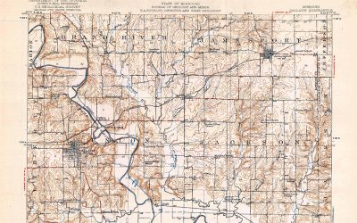
This 1920 topography map of Daviess County, MO, is stamped by the Department of the Interior, U.S....

This 1905 plat map of Gallatin, MO was prepared by Sanborn Map Company of New York. Gallatin's...

This 1902 map shows railroads within Daviess County, MO: Quincy, Omaha & Kansas City -- 13.13...

Gallatin, MO, on pages 14-16 in the 1898 Plat Map of Daviess County, MO

A "Patrons' Directory" appears on pages 47-50 in the 1898 Plat Book of Daviess County as follows:...
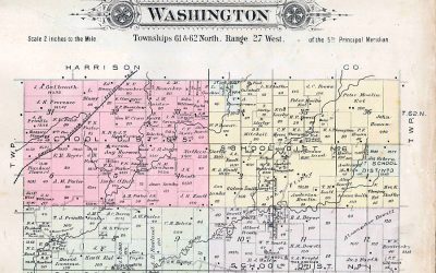
1898 Plat Map of Washington Township in Daviess County, MO
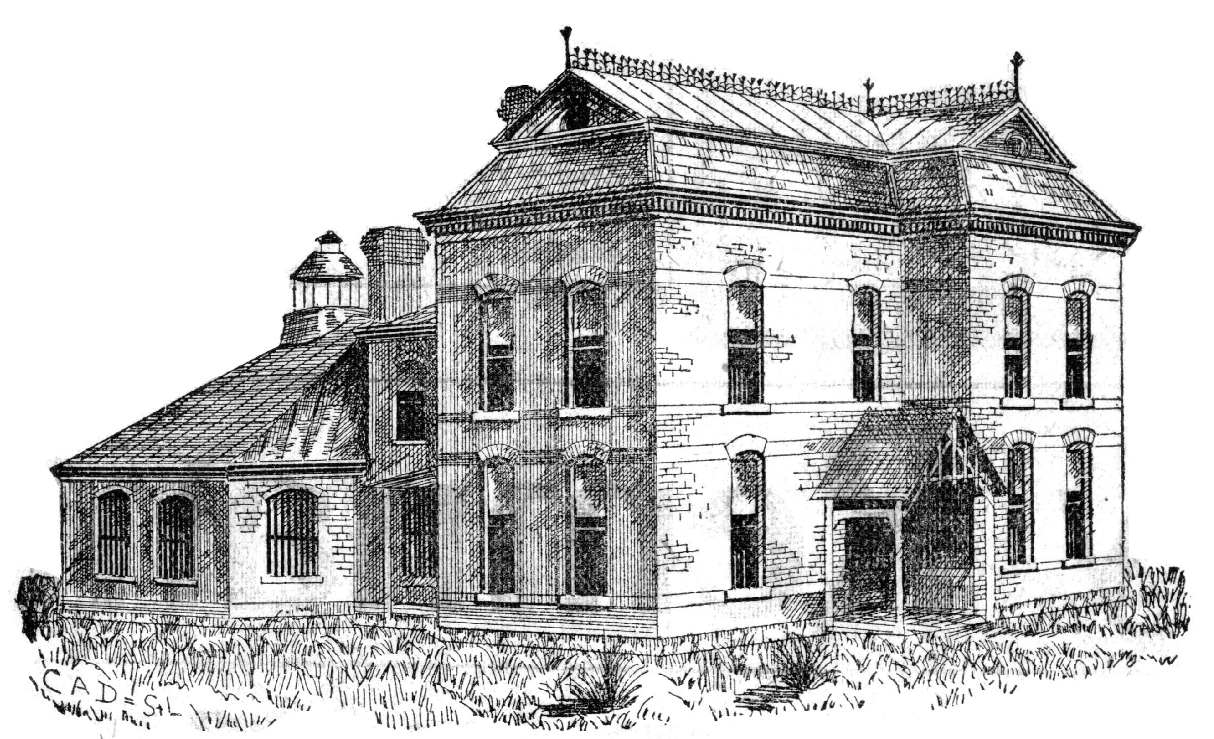
Visit the 1889 Squirrel Cage Jail, located 2 blocks west of the Daviess County Courthouse in Gallatin, MO. This historic relic is listed on the National Register of Historic Places and serves as a visitors’ center — by appointment,
Trudi Burton, ph: 660.663.7342
Search digital posts from 1999 to 2021:
GallatinNorthMissourian.com
Read the last special edition published by the Gallatin North Missourian in 2021:
Daviess County History Guide