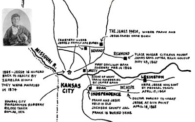
This map describes "Jesse James Country 1847-1882" ending with the assassination of Jesse James at...
Mapping ‘Jesse James Country’ in Northwest Missouri
read more

This map describes "Jesse James Country 1847-1882" ending with the assassination of Jesse James at...
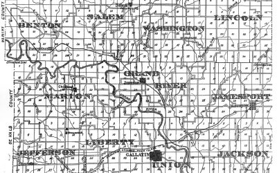
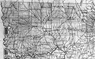
This is the 1876 plat map for Daviess County, MO:
In 1872 railroads were the prevailing means delivering progress across North Missouri as well as...
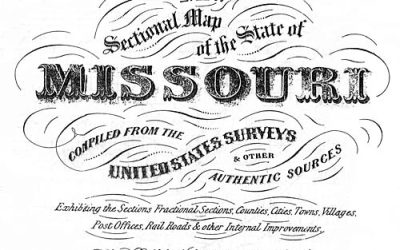
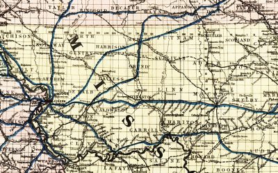
This 1869 map of trails in Northwest Missouri is from Colton's Sectional Map of the State of...
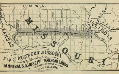
The Hannibal & St. Joseph Railroad operated from 1846-1883, the first railroad to cross...

In 1860 the Missouri State Gazetteer reported that Cavensville in Daviess County, MO, was first...
The January 11, 1900, issue of The North Missourian, a newspaper edited by C.M. Harrison,...
This 1846 map shows the significant trails used by early settlers to populate and transverse...
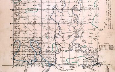
1838 Survey mapping 61N 29W in Daviess County, MO.
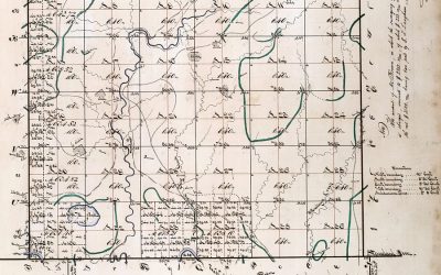
1838 Survey mapping 61N 28W in Daviess County, MO.
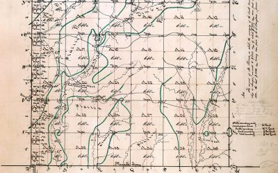
1838 Survey mapping 61N 27W in Daviess County, MO.
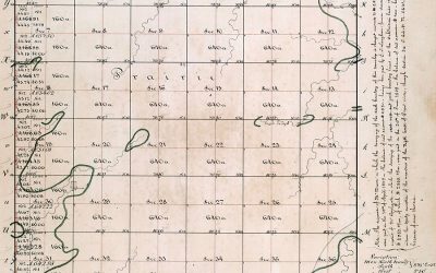
1838 Survey mapping 61N 26W in Daviess County, MO.
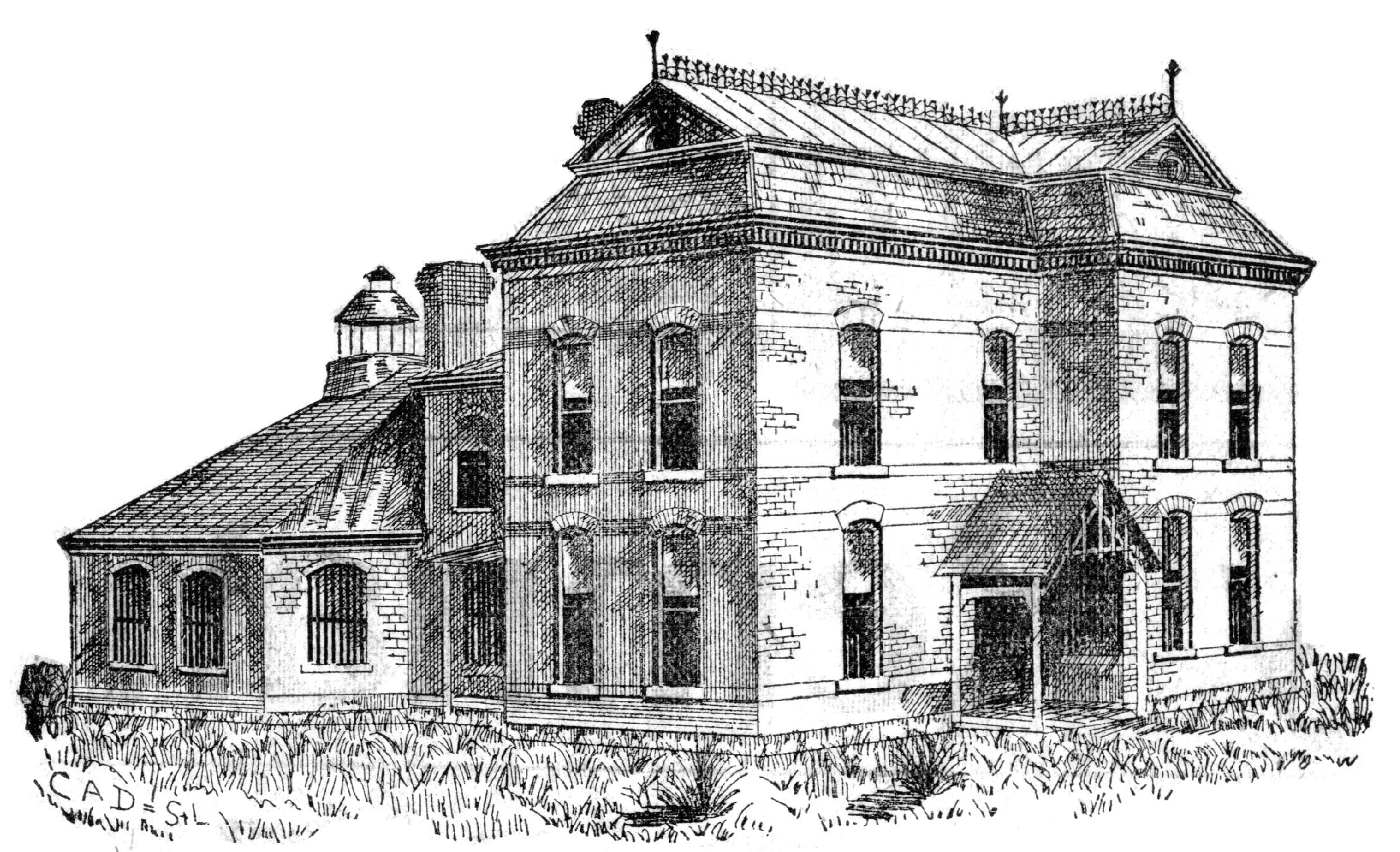
Visit the 1889 Squirrel Cage Jail, located 2 blocks west of the Daviess County Courthouse in Gallatin, MO. This historic relic is listed on the National Register of Historic Places and serves as a visitors’ center — by appointment,
Trudi Burton, ph: 660.663.7342
Search digital posts from 1999 to 2021:
GallatinNorthMissourian.com
Read the last special edition published by the Gallatin North Missourian in 2021:
Daviess County History Guide