This 1869 map of trails in Northwest Missouri is from Colton’s Sectional Map of the State of Missouri:
This website brought to you in part by the following sponsor:

Find out how to advertise here - Email us! [email protected]

This 1869 map of trails in Northwest Missouri is from Colton’s Sectional Map of the State of Missouri:
This website brought to you in part by the following sponsor:

This 1869 map is from Colton’s Sectional Map of the State of Missouri, compiled from the U.S. Surveys and other authentic sources. Published by G.W. & C.B. Colton & Company of New York. This exhibits counties, cities, towns, villages, post offices, railroads and other improvements.

This is a closeup focusing on Daviess-Caldwell counties in 1869 from Colton’s Sectional Map of the State of Missouri, compiled from the U.S. Surveys and other authentic sources.

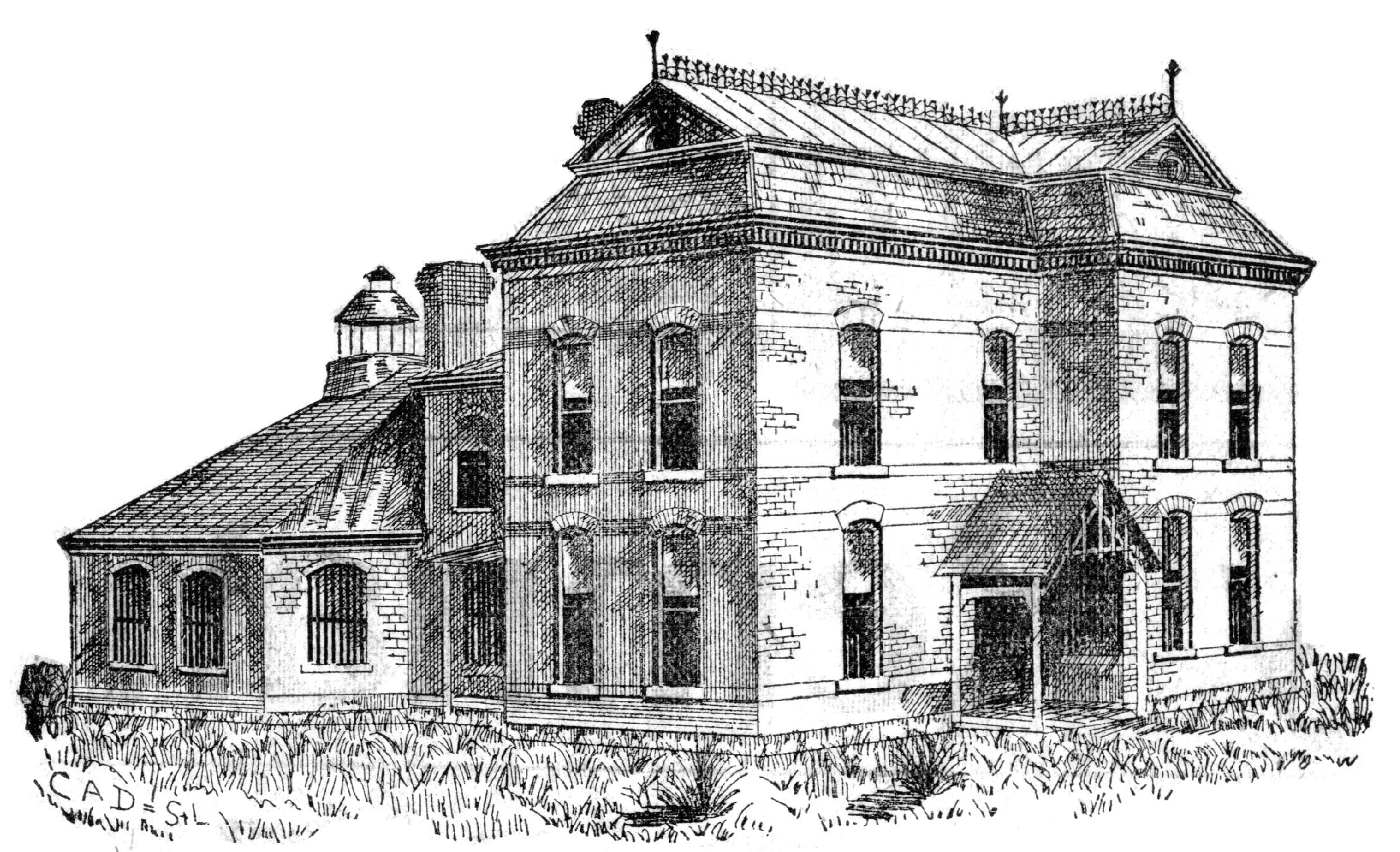
Visit the 1889 Squirrel Cage Jail, located 2 blocks west of the Daviess County Courthouse in Gallatin, MO. This historic relic is listed on the National Register of Historic Places and serves as a visitors’ center — by appointment,
Trudi Burton, ph: 660.663.7342
Search digital posts from 1999 to 2021:
GallatinNorthMissourian.com
Read the last special edition published by the Gallatin North Missourian in 2021:
Daviess County History Guide