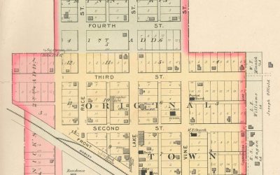
1898 Plat Map of Salem-Colfax Townships in Daviess County, MO
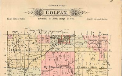
1898: Plat Map of Salem-Colfax Townships in Daviess County
read more

1898 Plat Map of Salem-Colfax Townships in Daviess County, MO
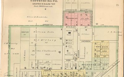
1898 Plat Map of Salem-Coffeyburg in Daviess County, MO
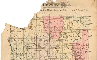
1898 Plat Map of Salem-Benton Townships in Daviess County, MO
1898 Plat Map of Jamesport, MO
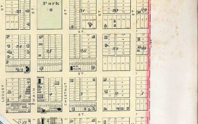
1898 Plat Map of Jameson, MO
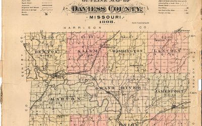
1898 Plat Map of Daviess County, MO
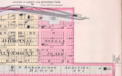
1898 Plat Map of Altamont, MO
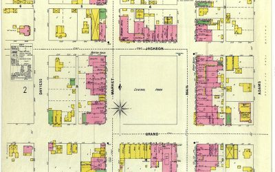
This 1898 map of Gallatin, MO was prepared by Sanborn-Perris Map Company of New York. Fire...
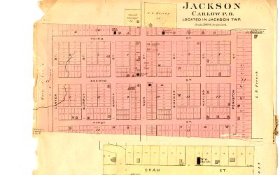
This 1898 plat map shows Carlow in Daviess County, MO. Carlow is located in the southeast portion...
This 1898 plat map of Lock Springs was published in the 1898 Plat Book of Daviess County, MO
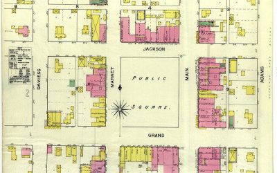
This 1893 plat map shows Gallatin, MO, population 1,800. The map, drawn to the scale of 50 feet to...
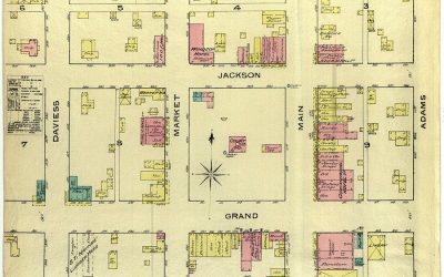
This 1886 plat map shows Gallatin, MO, population 1,800. Public water facilities are "not good"...
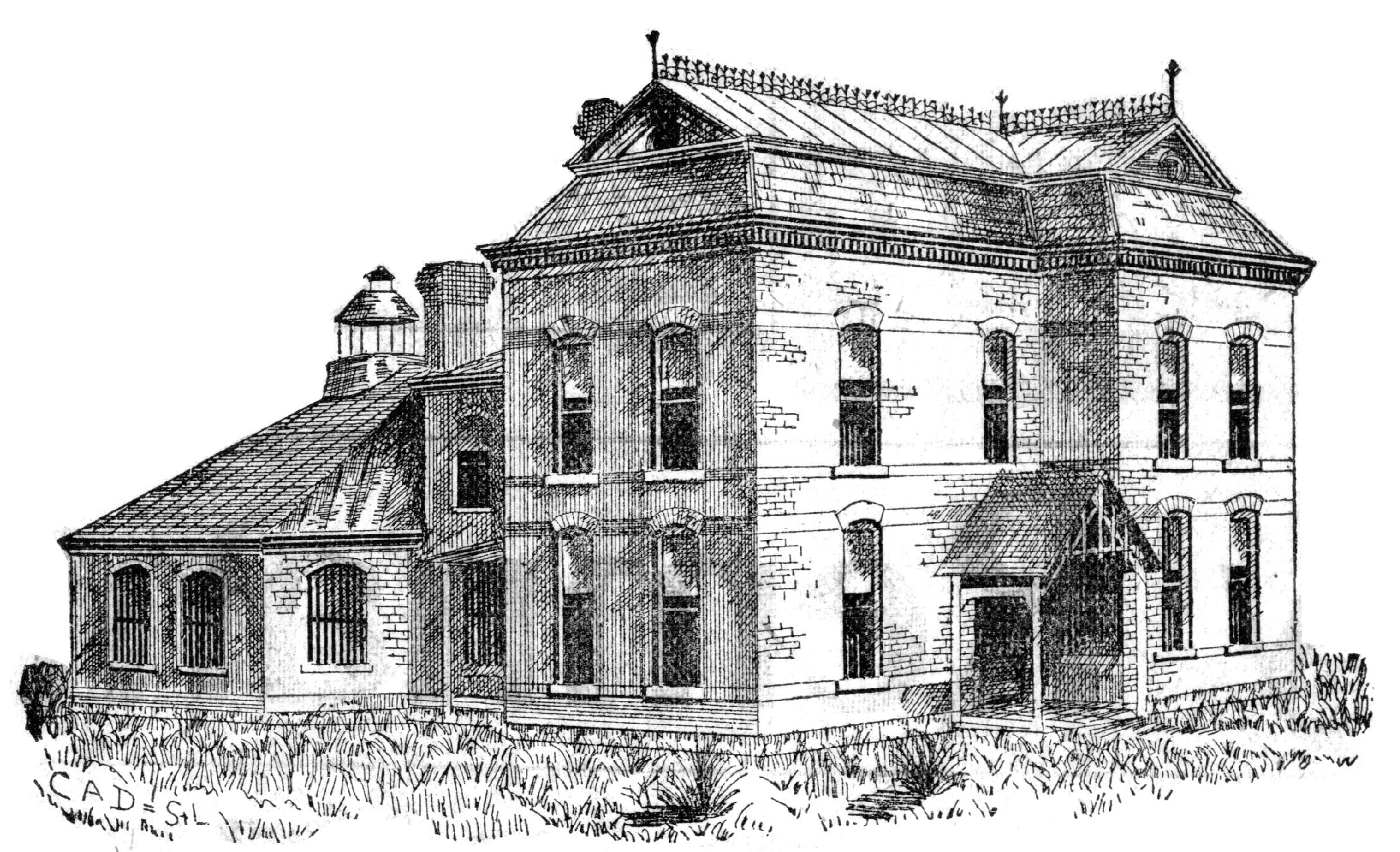
Visit the 1889 Squirrel Cage Jail, located 2 blocks west of the Daviess County Courthouse in Gallatin, MO. This historic relic is listed on the National Register of Historic Places and serves as a visitors’ center — by appointment,
Trudi Burton, ph: 660.663.7342
Search digital posts from 1999 to 2021:
GallatinNorthMissourian.com
Read the last special edition published by the Gallatin North Missourian in 2021:
Daviess County History Guide